Do you know where to find your Nuncle Dicks or your Tom Tiddler's Field?
What’s in a name? Do you know where to find your Nuncle Dicks or your Tom Tiddler's Field? Here’s half a million reasons why Ordnance Survey (OS) is helping HM Coastguard save lives.
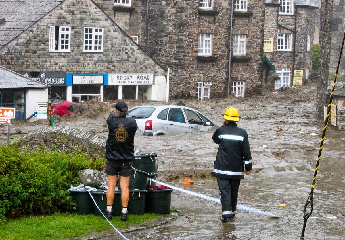
A distress call comes in. HM Coastguard swings in to action, time is of the essence, but the chances that the caller has a grid reference, post code, road name or the official title of a landmark is by no means certain. However the caller might well know the local nickname or vernacular for the location and when that information can be accessed immediately, then vital minutes could be cut off the time to save lives.
We’ve been working in partnership with OS using a technology which has helped Coastguard teams with more than 20,000 call outs last year alone.
Now we can reference nearly 500 thousand coastal place names, which includes more than 6,000 local nicknames and vernaculars of landmarks along the coast of Great Britain; names which would rarely appear on a map or navigation device. The information has been collected over five year and the database, called FINTAN, is continually updated to reflect current nicknames, and any changes.
Deputy Director of Maritime Operations for the Maritime & Coastguard Agency, Chris Thomas, said: ‘We are here to save lives and our biggest priority, like all the emergency services is getting to people as quickly as we can. We are extremely enthusiastic about being the first emergency service to use FINTAN. There is no doubt that having this information at our fingertips cuts down our response times and saves lives. A great deal of hard work has gone into creating this advanced database which delivers so much knowledge. We would like to thank everyone involved for their efforts so far.”
OS Chief Scientist Jeremy Morley added, ‘This is just the start. Our work with the MCA has been a great success. Equipping HM Coastguard with our information is a major step forward and now we’re looking to move inland too. The hard bit has been creating software algorithms and a web application which is up to the task. Now our ambition is to make the service, as part of our public duty, accessible across every part of GB to support all our emergency services.’
FINTAN includes 1:50 000 Scale Gazetteer, 1:25 000 Scale Colour Raster and OS MasterMap Address Layer 2 as part of the database.
Since 1 January 2017 to 18 December 2017, HM Coastguard has responded to over 22,000 incidents which were graded as Alert, Distress or Uncertain.
Brick Island (Langstone Harbour)
Chinese Bridge / Humpback Bridge / Pagoda Bridge / Yellow Dog with No Teeth Bridge (Warsash Coastal Path West Side)
Colonels Rocks / Ring of Five (Bembridge)
Conagar Bridge (Nursling Mill)
Electric Beach (Marchwood)
Tom Tiddler’s Field (Calshot)
Fishmarket Corner (Newhaven Harbour)
Cuckoo Corner (Lancing / Old Shoreham)
Hallelujah Bay (Portland)
Flus Pier (Portland)
Pom Pom (Portland)
Robinson Crusoe Rock (Portland)
Borstal Boy’s Ponds (Portland)
Dicks Point / Nuncle Dicks (Portland)
Garlic Woods (Studland)
Potato Field (Studland)
Boulder Ruckle (Near Durlston Head)
Steps Hollow (Near Swanage)
The Mushroom (Browndown Battery)
Toe End (Caravan Parks near Selsey)
199 Steps or Bastion Steps (Peacehaven Heights)
A distress call comes in. HM Coastguard swings in to action, time is of the essence, but the chances that the caller has a grid reference, post code, road name or the official title of a landmark is by no means certain. However the caller might well know the local nickname or vernacular for the location and when that information can be accessed immediately, then vital minutes could be cut off the time to save lives.
We’ve been working in partnership with OS using a technology which has helped Coastguard teams with more than 20,000 call outs last year alone.
Now we can reference nearly 500 thousand coastal place names, which includes more than 6,000 local nicknames and vernaculars of landmarks along the coast of Great Britain; names which would rarely appear on a map or navigation device. The information has been collected over five year and the database, called FINTAN, is continually updated to reflect current nicknames, and any changes.
Deputy Director of Maritime Operations for the Maritime & Coastguard Agency, Chris Thomas, said: ‘We are here to save lives and our biggest priority, like all the emergency services is getting to people as quickly as we can. We are extremely enthusiastic about being the first emergency service to use FINTAN. There is no doubt that having this information at our fingertips cuts down our response times and saves lives. A great deal of hard work has gone into creating this advanced database which delivers so much knowledge. We would like to thank everyone involved for their efforts so far.”
OS Chief Scientist Jeremy Morley added, ‘This is just the start. Our work with the MCA has been a great success. Equipping HM Coastguard with our information is a major step forward and now we’re looking to move inland too. The hard bit has been creating software algorithms and a web application which is up to the task. Now our ambition is to make the service, as part of our public duty, accessible across every part of GB to support all our emergency services.’
FINTAN includes 1:50 000 Scale Gazetteer, 1:25 000 Scale Colour Raster and OS MasterMap Address Layer 2 as part of the database.
Since 1 January 2017 to 18 December 2017, HM Coastguard has responded to over 22,000 incidents which were graded as Alert, Distress or Uncertain.
Unusual names between Brighton and Portland:
Deadman’s Head (Langstone Harbour)Brick Island (Langstone Harbour)
Chinese Bridge / Humpback Bridge / Pagoda Bridge / Yellow Dog with No Teeth Bridge (Warsash Coastal Path West Side)
Colonels Rocks / Ring of Five (Bembridge)
Conagar Bridge (Nursling Mill)
Electric Beach (Marchwood)
Tom Tiddler’s Field (Calshot)
Fishmarket Corner (Newhaven Harbour)
Cuckoo Corner (Lancing / Old Shoreham)
Hallelujah Bay (Portland)
Flus Pier (Portland)
Pom Pom (Portland)
Robinson Crusoe Rock (Portland)
Borstal Boy’s Ponds (Portland)
Dicks Point / Nuncle Dicks (Portland)
Garlic Woods (Studland)
Potato Field (Studland)
Boulder Ruckle (Near Durlston Head)
Steps Hollow (Near Swanage)
The Mushroom (Browndown Battery)
Toe End (Caravan Parks near Selsey)
199 Steps or Bastion Steps (Peacehaven Heights)
Footage copyright of the BBC